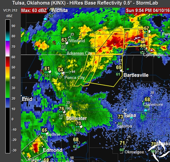
9:54 PM
The severe storms that have been hitting the B-ville area have pushed north. We’re not out of the woods yet. It looks like more storm development is taking place to our southwest (west of Edmond), moving to the northeast. We could see some rain here in Tulsa before the night is over.
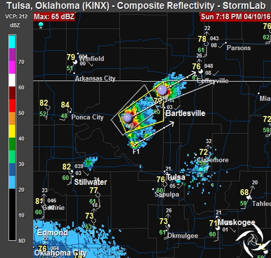
7:19 PM
Storms are beginning to pop north of Tulsa. Here’s the latest radar.
6:45 PM
Currently in Tulsa it’s 80° under Partly Sunny skies. DP is 62°, the RH is 54% and we have a south wind at 23 mph.
5:31 PM
A Severe Thunderstorm Watch has been issued for Craig, Nowata, Osage, Ottawa, Pawnee and Washington counties in NE Oklahoma. This watch is in effect until midnight.
This was does not include Tulsa, but I expect the watch areas to expand through the evening.

At 12:00 noon in Tulsa, we have partly cloudy skies, 77°, DP 59°, RH 54%, Wind SSW at 21, gusting to 36 mph.
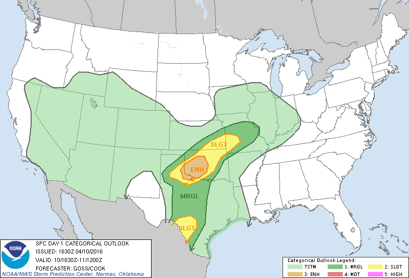
We could see some strong to severe thunderstorms this evening and through the overnight hours. The greatest risks will be hail and wind, but an isolated tornado can’t be ruled out. I’ll be keeping an eye on it through the day.