Sunday, May 28
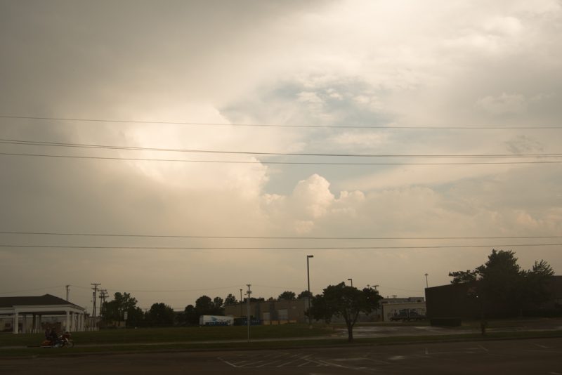
I finally gave up around 9:30 last night. Here’s a couple photographs from Saturday.
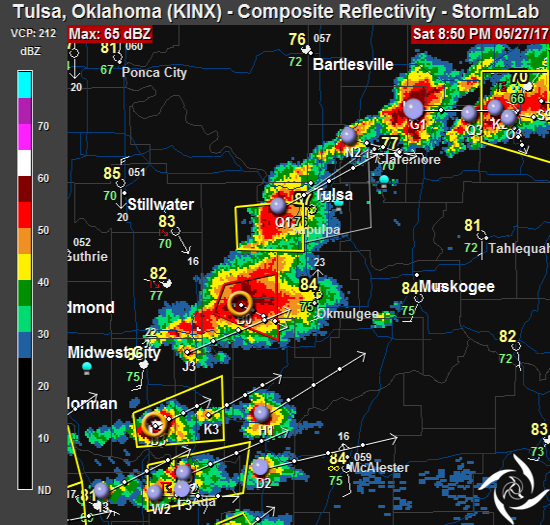
8:50 pm
Yes. Now that the sun has set, storms are beginning to pop around Tulsa.
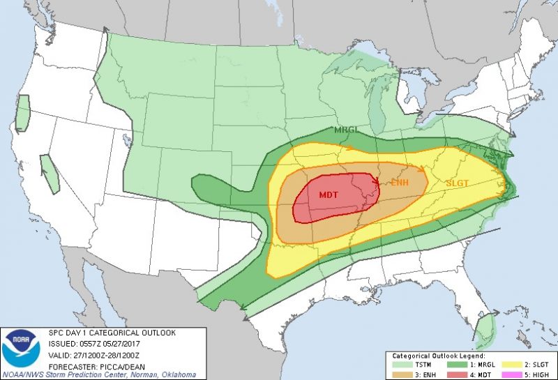
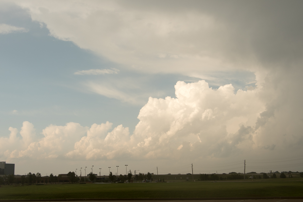
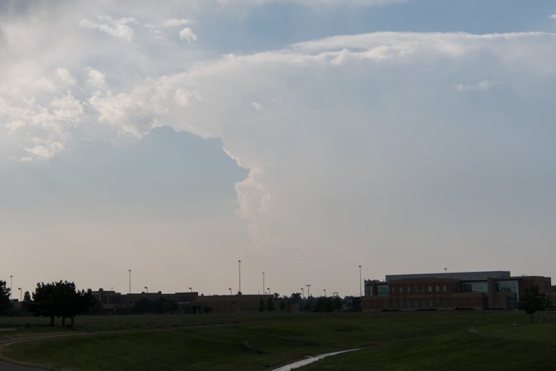
7:05pm
I went out for a little bit, but once the leading storms moved by, we returned to mostly blue skies. Is this going to be a bust? I took a couple pictures of the storms north of Tulsa that eventually moved towards Pryor and Rocklahoma. Rocklahoma has been postponed due to the incoming weather.
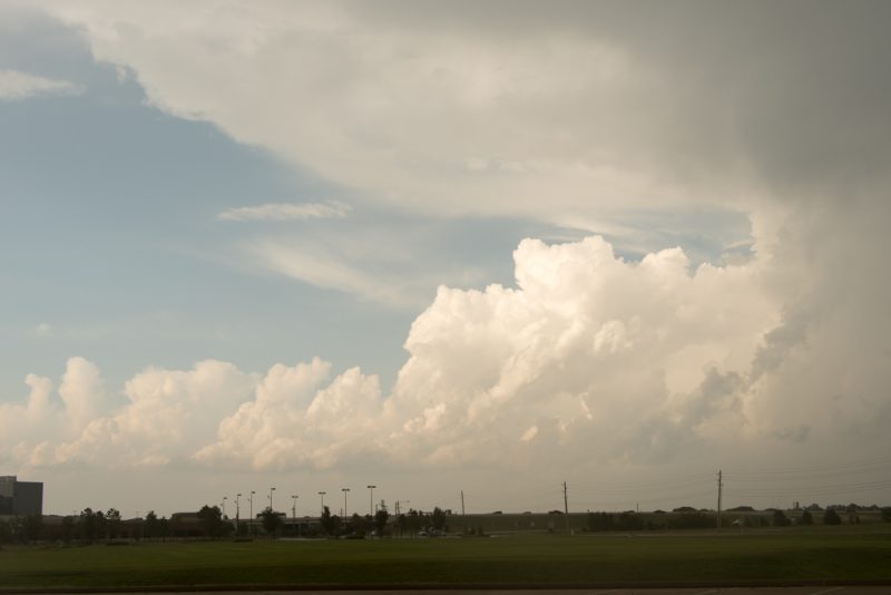
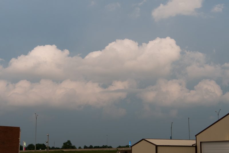
Stopped and grabbed some dinner. Now I’m back at the homestead to see if anything else develops. So Far, most of the action has been in Missouri.
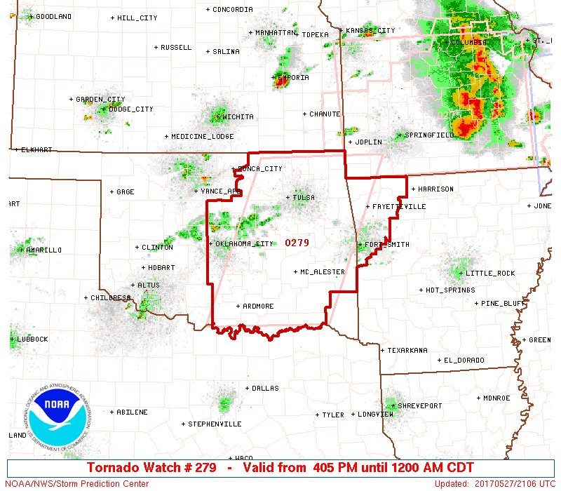
4:00 pm
A Tornado Watch has been issued for much of eastern OK. I won’t have to go far. The atmosphere is very unstable ahead of the dryline. Bring pets inside, get your shelter-in-place area ready, cell phones charged up and make sure your weather radios have fresh batteries.
* Primary threats include…A few tornadoes and a couple intense tornadoes possible. Widespread large hail and isolated very large hail events to 3 inches in diameter likely. Scattered damaging wind gusts to 70 mph. likely
12:10 pm
Made a trip to the landfill, mowed the lawns, cleared the garage to get Ghost in there – it’s amazing I was able to get it in there. Dot is gassed up and ready to go.
Not much has changed since this morning, other than the cap is beginning to break up. Tulsa is still in the zone. May not have to go far today.
I’m going to get a shower and some lunch and I’ll update in a couple of hours.
7:00 am
I’m looking at the forecasts and models and there’s a good chance that we’ll see severe weather in eastern Oklahoma today. Onset will be late afternoon – a more typical setup for Oklahoma storms is in play. Dewpoints will be in the mid 70s and temps will climb into the high 90s.
The greatest risks today will be heavy rain, gusty winds and very large hail. But, tornadoes can’t be ruled out and watches are likely this afternoon. We should all remain weather aware today as we move into the afternoon.
I’ll spend the morning getting some stuff done around the homestead and I’ll look at the models again mid-day.
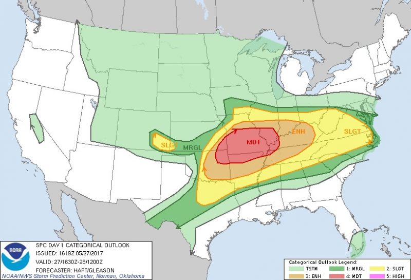
The SPC outlook for today shows Tulsa in the moderate risk area.