
I’ve been watching the models for the past couple of days. Today they point to the potential of severe weather in the Tulsa area and most of Oklahoma on Thursday.
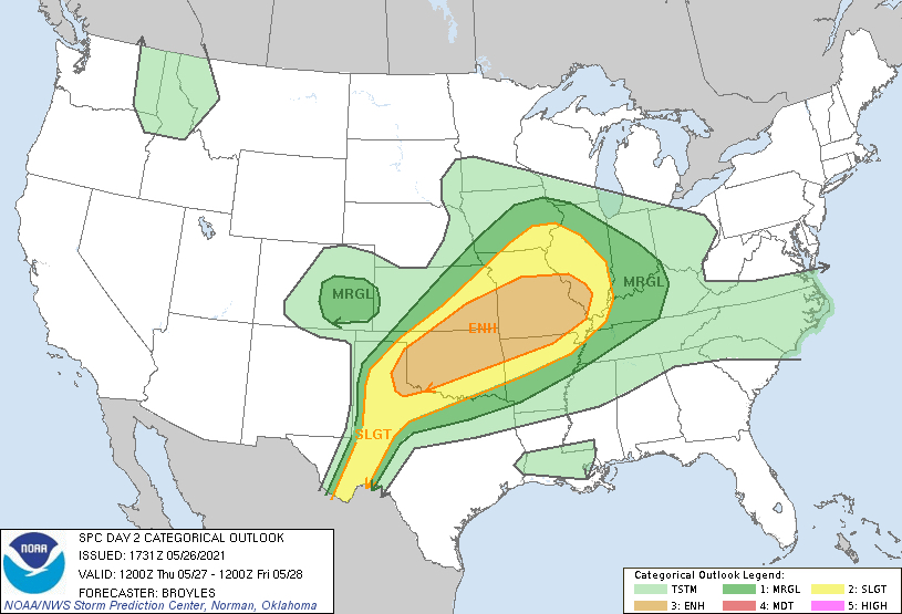
The convective outlook shows an enhanced coverage area, which includes Tulsa.

With a moist and unstable airmass in Oklahoma, weather watches and warnings are likely with this system. Supercell development is possible when all of the elements move into place. It looks like initiation will be after 4pm local time and continue through the overnight hours. This setup is something I’ve not seen for Tulsa in quite some time.
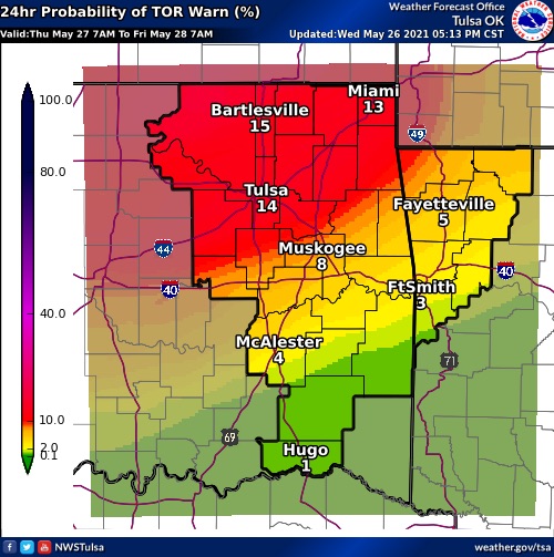
The potential threats include heavy rain, dangerous lightning, gusty winds, hail and tornadoes. The graphic below shows the areas with tornado probability.
Stay weather aware tomorrow into Friday morning. Make sure you have more than one way of getting severe weather alerts and don’t depend on sirens to alert you. Monitor your weather radio and local media outlets.
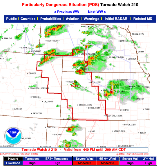
My hopes are we don’t see a PDS (particularly dangerous situation) tornado watch like the one issued earlier for parts of Kansas.
I’ll post an update tomorrow.