3:40 PM
I opted to stay in the Tulsa area today. May have been the wrong decision. The first tornado watch was issued for western and central Oklahoma earlier. If it actually moves to the east, it could be late evening into the overnight hours before anything substantial develops. Two problems with that. 1. Chasing at night isn’t a good idea and 2. If something does develop, it’s dangerous for everyone.
So, here I sit. And wait. And wait.
In northeast Oklahoma, we’re under a Flood Watch from 7PM until Sunday morning. Not what I was anticipating for today.
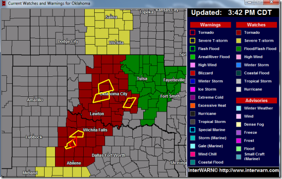
Worse case scenario? We get rain and I sit in the comfort of my living room watching things unfold under the cover of darkness.
Hot chocolate anyone?
4:33 PM
The storms are heading to Tulsa. But, it looks like they’re merging into a big mess.
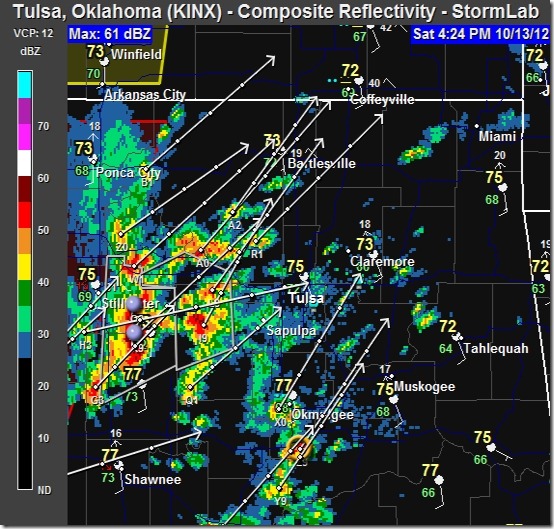
A little over 2 hours to sunset. This isn’t looking good for this ole storm chaser.
5:17 PM
Finally.
Severe Thunderstorm Warning for: Nowata, Osage, Pawnee, Rogers, Tulsa and Washington counties in NE Oklahoma. Effective until 6:15 PM.
Risks: Damaging wind gusts to 70 MPH.
6:00 PM
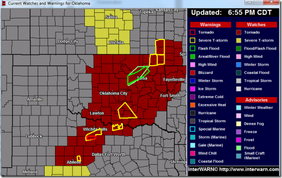
Tornado Watch in effect for several counties in NE Oklahoma, including Tulsa county and the city of Tulsa. This watch is in effect until midnight.
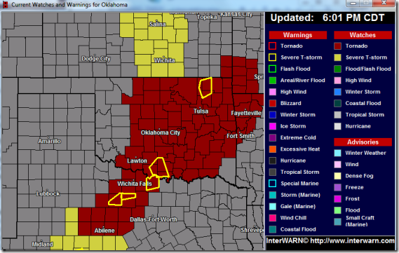
And radar.
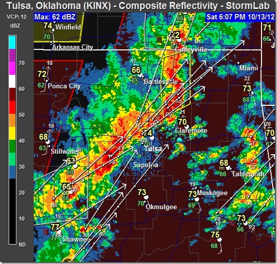
It’s beginning to get a little more interesting.
6:26 PM
Urban/Small Stream Flood advisory issued for Creek, Osage, Pawnee, Rogers, Tulsa and Washington counties. Effective until 9:15 PM.
This stuff is going to blow through after dark. Not a good thing.
6:34 PM
Flash Flood Warning issued for Creek, Wagoner, Osage, Rogers and Tulsa counties. Effective until 10:30 PM. Downtown Tulsa will likely be impacted by heavy rains and flooding.
9:35 PM
The storms have moved out of the Tulsa area to the east. I think it’s safe to say this weather event is over.
Safe travels.
