
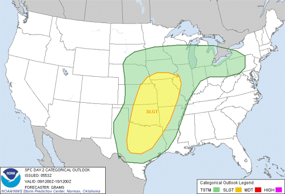
There’s a risk of severe weather on Tuesday for much of eastern Oklahoma as a cold front moves through. The risks are mainly strong winds and hail, but I’m not ruling out tornadoes at this point. The timing is iffy right now, but tomorrow evening into the overnight hours is most likely, and it could carry-over into Wednesday morning.
Temperatures will be in the low 70s today under cloudy skies. Tuesday’s temps will be in the mid 70s and after the cold front moves on through, temps will drop. Wednesday’s highs will only be in the mid 40s. Then we’ll stay in the 50s the rest of the week.
There could be a chase opportunity in NE Oklahoma late Tuesday evening, but won’t be early enough for my liking. On the bright side, we could get between 1 and 2 inches of rain out of this. That’s a plus.
It’s worth watching to see what develops.